Description:
Abstract
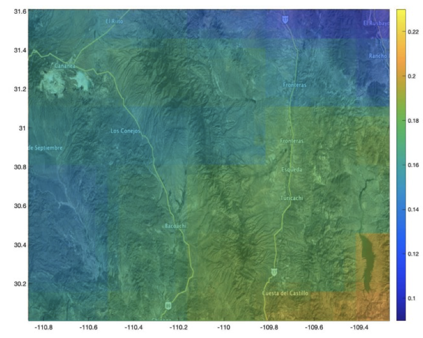
USC researchers have developed a solution that addresses the data interpolation problem by formulating it as a signal reconstruction on a graph. By utilizing high-resolution ancillary data and observations from instruments providing detailed imagery, the technique assigns weights to the edges between nodes. The method starts with a high-resolution signal interpolated from coarse observations and then solves a quadratic Laplacian optimization problem to ensure consistency with the original estimates. This approach outperforms traditional spatial filtering and interpolation techniques, resulting in improved reconstruction of remotely sensed data.
Benefit
- Solution to data interpolation problem in satellite sensing
- Surpasses performance of traditional spatial filtering and interpolation techniques
Market Application
Advances in satellite sensing technologies have led to the deployment of various new instruments for observing land surface parameters. While passive sensors provide coarse data, active sensors generate higher resolution data. However, the observations from passive sensors often fail to meet regional science requirements. Therefore, an opportunity exists to develop techniques for generating detailed spatial data from coarse datasets using ancillary terrain information or observations from other instruments.
Publications
Graph-Based Interpolation for Remote Sensing Data, Garcia Cardona et al., 2022.
Other
Stage of Development
- Proof of concept demonstrated
- Tested in case study of high-resolution soil moisture estimates from coarse radiometric observations
- Available for licensing
Applications
- Remote sensing
- Geospatial data
- Environmental monitoring